top of page

GIS Mapping & Analysis
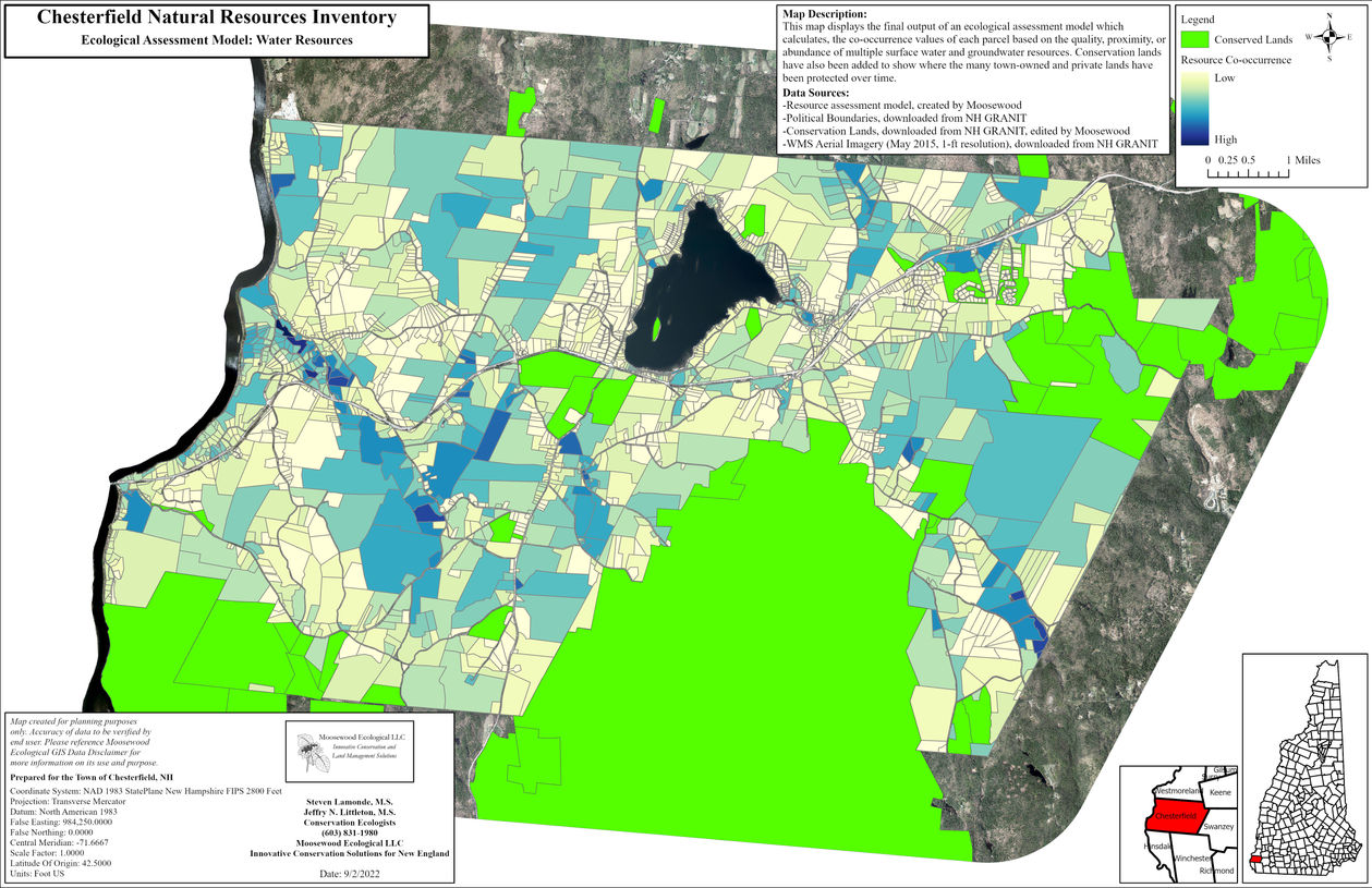
The use of Geographic Information System (GIS) technology is integral to all projects. The visual and analytical power of a GIS provides our clients with effective information to support a wide variety of land use and conservation planning projects. From map creation and data development to natural resource modeling and other analyses, Moosewood Ecological can customize a set of GIS products for all your natural resource projects.
Copyright© Moosewood Ecological LLC 2023
bottom of page


